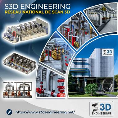
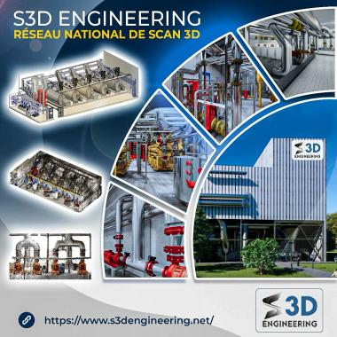
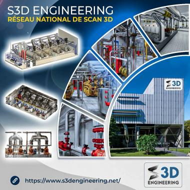
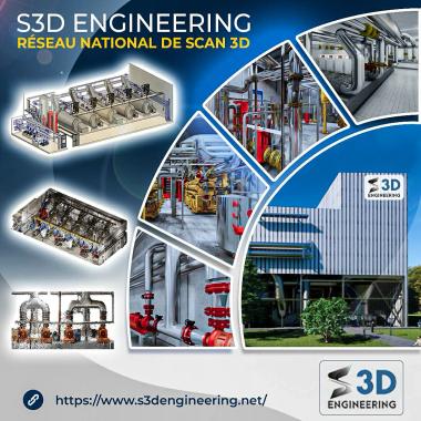
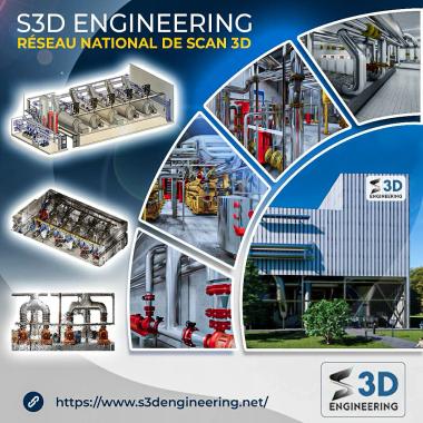
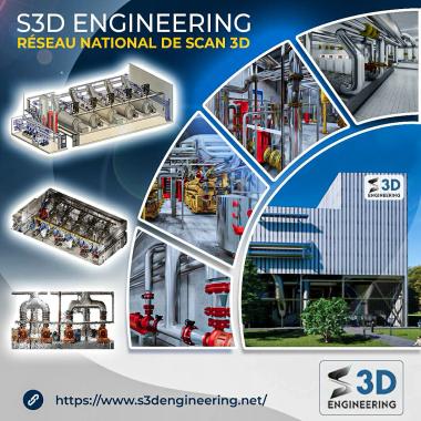
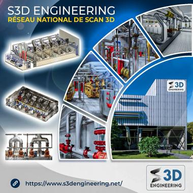
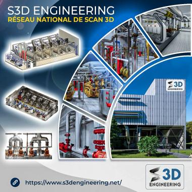
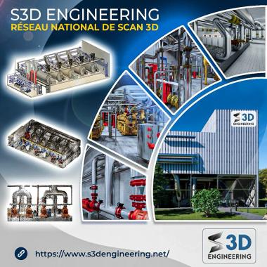
S3D ENGINEERING
3D scanning for topographic mapping
Description
Our 3D scanning services for topographic mapping offer a cutting-edge solution to accurately capture terrain features. Using 3D laser scanning technology, we produce detailed digital models of land surfaces, including reliefs, infrastructure, and natural features. These surveys are essential for development projects, natural resource management, or environmental studies, allowing for in-depth site analysis and optimized planning. Whether for civil engineering, urban planning, or land management projects, our 3D scanning expertise ensures reliable and actionable data, facilitating decision-making and the execution of your topographic projects with unmatched accuracy.
S3D ENGINEERING
Control / Measure / Industrial visionDescription
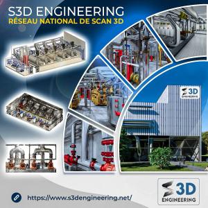
S3D ENGINEERING: Expert in 3D Digitization for Building and Industry, ISO 9001 Certified Welcome to S3D ENGINEERING , a certified company ISO 9001 , specialized in the 3D scanning for the sectors of building and industry . Thanks to our innovative solutions and our commitment to quality, we support our c...


 Français