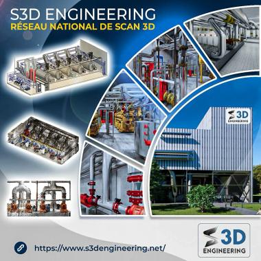
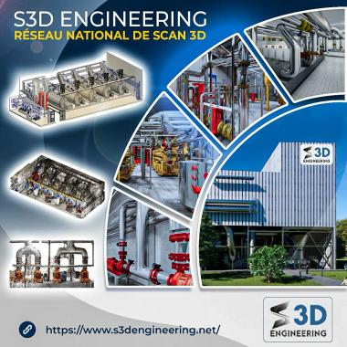
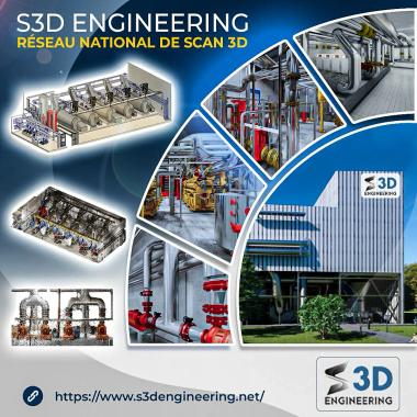
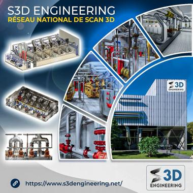
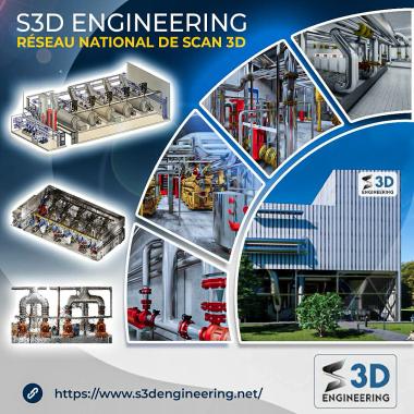
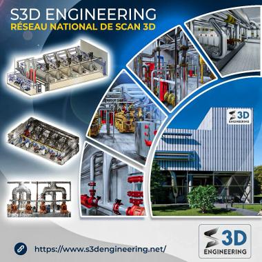
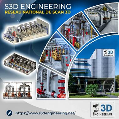
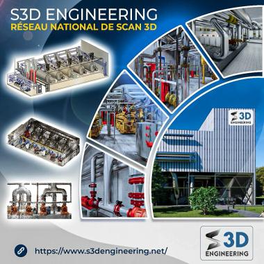
S3D ENGINEERING
3D Scan Monitoring and Fundamental Mapping
Description
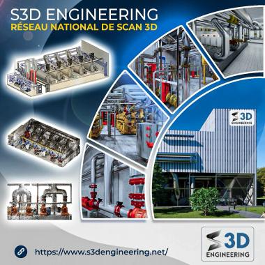
Our 3D scanning services for monitoring and fundamental mapping provide a high-precision solution for monitoring and analyzing terrain, structures, and natural environments. Using 3D laser scanning technology, we capture detailed data that allows us to create accurate and up-to-date digital models. These surveys are essential for continuous monitoring of terrain changes, detecting deformations, and mapping critical areas. Whether for engineering, natural hazard management, or urban planning projects, our 3D scanning expertise ensures reliable results, enabling proactive planning and informed decision-making for the sustainable management of resources and infrastructure.
S3D ENGINEERING
Control / Measure / Industrial visionDescription
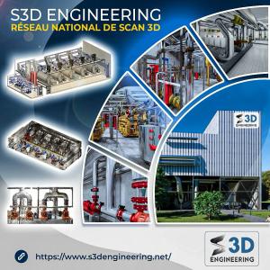
S3D ENGINEERING: Expert in 3D Digitization for Building and Industry, ISO 9001 Certified Welcome to S3D ENGINEERING , a certified company ISO 9001 , specialized in the 3D scanning for the sectors of building and industry . Thanks to our innovative solutions and our commitment to quality, we support our c...


 Français